Oahu Traffic Guide 2026: Reports, Cameras, Maps & Safety Facts
Traffic on Oahu is not just a daily inconvenience. It’s a defining part of life on Hawaii’s most populated island. Whether you are a resident commuting daily or a visitor trying to plan routes or understanding Oahu traffic guide helps you save time, reduce stress and make smarter travel decisions.
With limited road space, a growing population and heavy tourism, congestion remains a serious challenge. This guide breaks down traffic patterns, causes, safety data, cameras, maps and real-world driving expectations all backed by the trusted sources.
Table of Contents
Understanding Oahu Traffic guide Patterns and Daily Flow
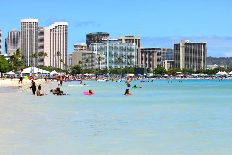
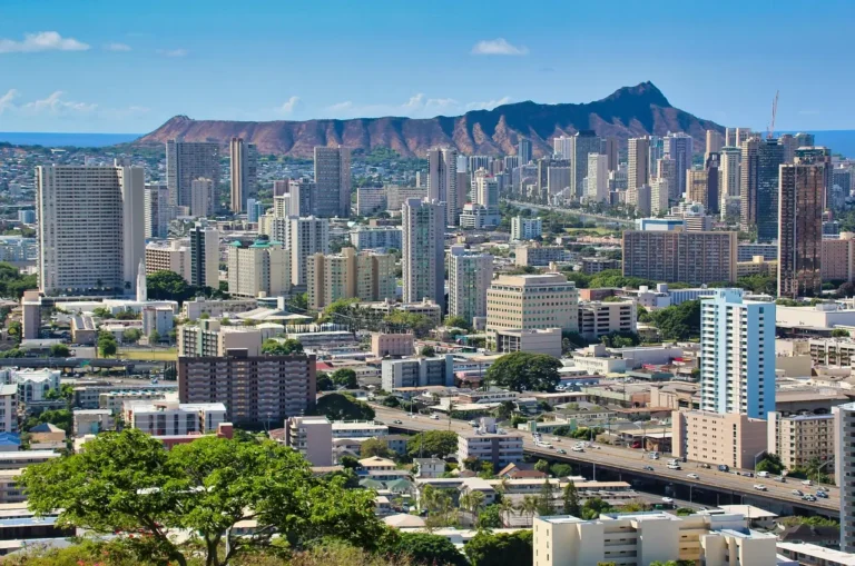
Daily movement on Oahu follows predictable rhythms driven by work schedules, school hours and tourism activity. Morning congestion typically builds as commuters head toward Honolulu, while evening backups form as traffic moves west and toward Oahu road trip areas.
Many drivers rely on a real-time oahu traffic map to plan routes, avoid bottlenecks and adjust departure times. These maps help visualize congestion hotspots and road closures across the island.
How Bad Is Traffic in Oahu? Real Data Explained
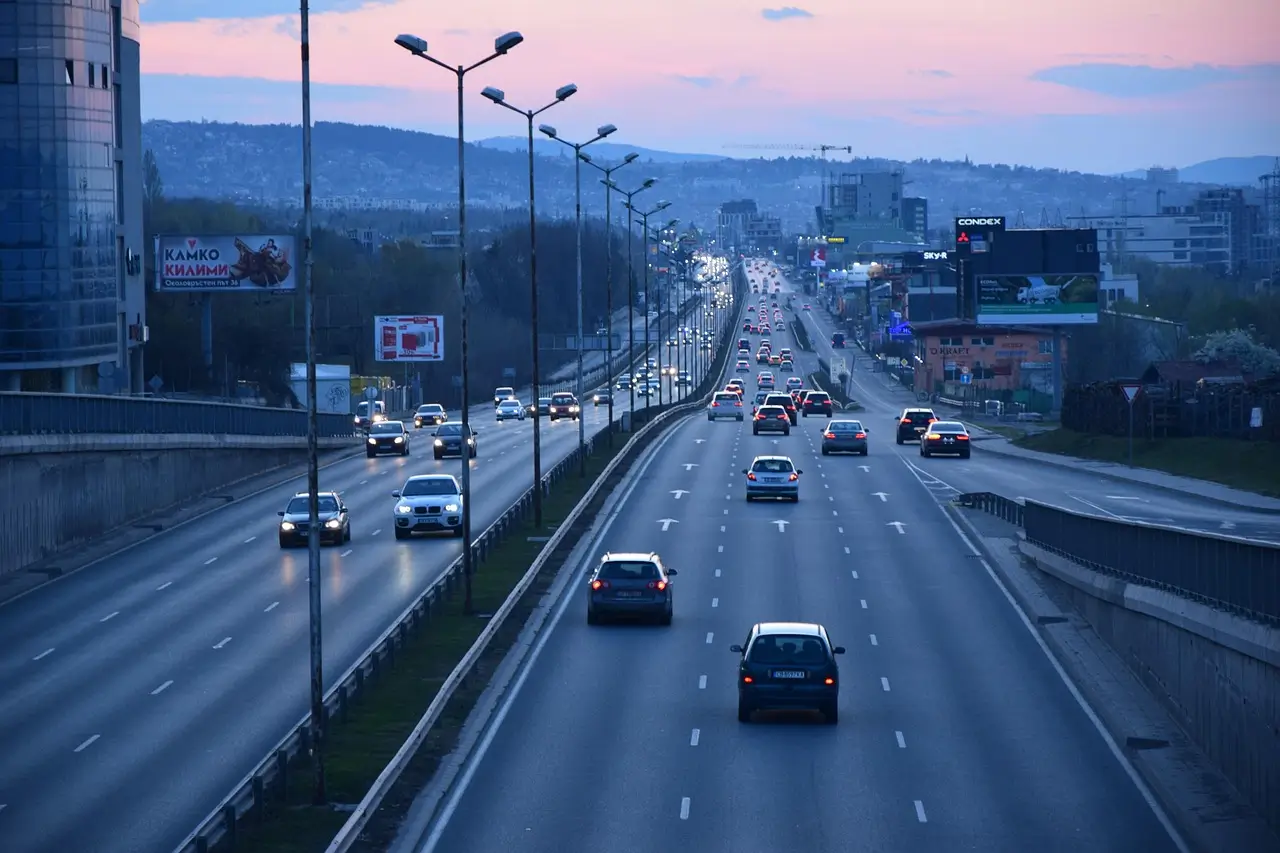
A common question from visitors and new residents is how bad is traffic in oahu compared to other U.S. cities. According to the TomTom Traffic Index, Honolulu consistently ranks among the most congested mid-sized cities in the country.
During peak hours, average speeds can drop significantly, especially on the H-1 Freeway, Pali Highway and Likelike Highway. These slowdowns are not occasional. They are part of daily life for thousands of commuters.
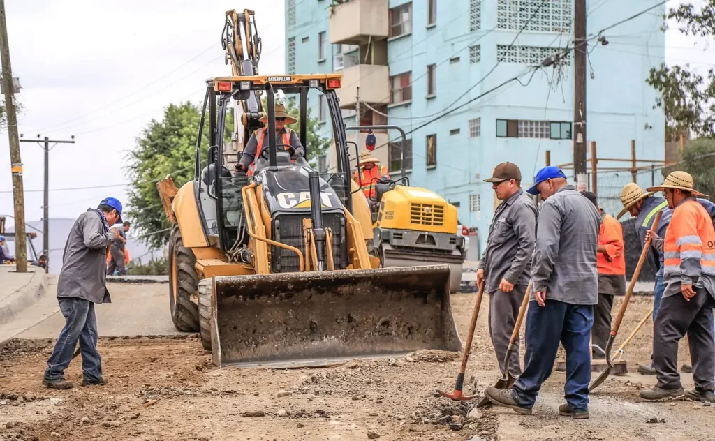
Major Roads and Oahu Traffic Hotspots
Traffic congestion is not evenly spread across the island. Some corridors experience heavier delays due to merges, limited lanes and high commuter volume.
Areas with frequent congestion include:
- H-1 Freeway near Middle Street and Moanalua
- Pali Highway during morning inbound traffic
- Kalanianaole Highway in East Honolulu
Checking a live oahu traffic report before heading out can help drivers avoid delays caused by construction, accidents, or lane closures.
Oahu Traffic Cameras and Live Monitoring
Oahu uses a network of traffic cameras to monitor conditions and improve road safety. Many drivers rely on oahu traffic cam systems to check real-time conditions before leaving home.
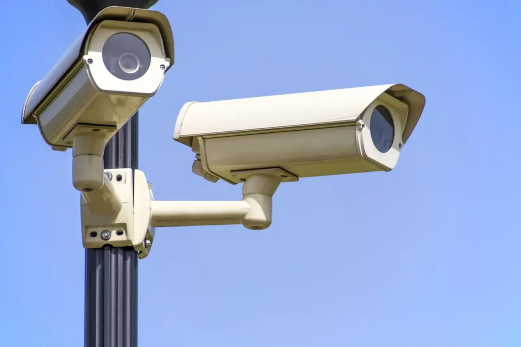
Where Are the Traffic Cameras on Oahu?
If you’re wondering where are the traffic cameras on oahu, they are primarily located along major highways, intersections, and high-incident areas. These oahu traffic cameras are operated by the Hawaii Department of Transportation and local agencies.
They provide live visual data that supports traffic updates, enforcement planning and public safety.
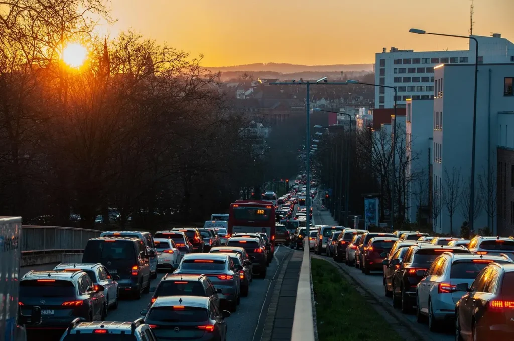
Oahu Traffic Accidents and Road Safety Concerns
Congestion often increases the risk of collisions. Oahu traffic accidents frequently occur during peak commute hours when stop-and-go conditions dominate the roads.
Minor incidents can quickly cause long backups due to limited shoulder space and narrow corridors. Even a stalled vehicle can slow traffic for miles during rush hour.
Traffic Fatalities and Safety Data in 2025
Road safety remains a serious issue. Many drivers ask how many traffic deaths in oahu 2025 as part of understanding local risk levels. Official data from state transportation and safety agencies is tracked annually and used to guide Vision Zero initiatives aimed at reducing fatalities.
High-risk corridors and intersections are closely monitored to improve infrastructure, signage, and enforcement.
Oahu Traffic Updates: Staying Informed in Real Time
A reliable oahu traffic update can make a major difference in daily travel. Live updates often include:
- Accident alerts
- Construction notices
- Lane closures
- Weather-related slowdowns
Navigation apps, state traffic portals and local news sources provide timely information to help drivers adjust routes quickly.
How Long Does It Take to Drive Around Oahu?
One of the most common visitor questions is how long does it take to drive around oahu or simply how long to drive around Oahu and Waikiki beaches without any stops.
Under ideal conditions and without traffic, a full loop around the island takes approximately 2.5 to 3 hours. However, during peak traffic hours or with sightseeing stops, this time can increase significantly.
Traffic conditions, roadwork and accidents all play a role in determining actual drive time.
Why Oahu Traffic Is Hard to Fix
Several structural factors contribute to long-term congestion:
- Island geography limits road expansion
- High population density
- Heavy tourist vehicle use
- Limited alternative routes
Unlike mainland cities, Oahu cannot easily build bypass highways, making traffic management more complex.
Current and Future Solutions for Oahu Traffic guide
Transportation planners are working on long-term improvements such as public transit expansion, traffic signal optimization and safety corridor redesigns.
Rail transit projects, improved bus systems and smarter traffic management aim to reduce dependence on private vehicles while improving overall mobility.
What Drivers Can Do to Reduce Traffic Stress
While large infrastructure changes take time, individual drivers can make daily commutes easier by:
- Avoiding peak rush hours when possible
- Using live traffic tools and reports
- Carpooling or using HOV lanes
- Planning routes using traffic cameras and maps
Small behavior changes can collectively improve flow and safety.
Final Thoughts on Oahu Traffic
Traffic on Oahu is a reality shaped by geography, growth and daily human behavior. While congestion remains a challenge, understanding traffic patterns, using real-time tools, and planning ahead can make driving more manageable.
Whether you are commuting daily or exploring the island, staying informed helps you spend less time in traffic and more time enjoying what Oahu does best.
How bad is traffic in Oahu on a daily basis?
How bad is traffic in Oahu depends on the time of day and location. During morning and evening rush hours, congestion is common on major routes like the H-1 Freeway, Pali Highway, and Likelike Highway.
Where can I check a live Oahu traffic map before driving?
You can view a real-time oahu traffic map using navigation apps and local traffic portals. These maps show congestion levels, accidents, construction zones, and helping drivers choose faster and safer routes.
Where are the traffic cameras on Oahu located?
Many drivers ask where are the traffic cameras on oahu. Oahu traffic cameras are mainly installed along major highways, busy intersections. These cameras help monitor traffic flow and provide live visuals that support traffic reports and updates.
How reliable are Oahu traffic cams and traffic reports?
Live oahu traffic cam feeds and the official oahu traffic report are generally reliable, especially for major highways and urban areas. They are commonly used by commuters to check real-time conditions.
How long does it take to drive around Oahu without stopping?
Many visitors wonder how long does it take to drive around oahu or how long to drive around oahu. Under normal traffic conditions and without stops, it usually takes about 2.5 to 3 hours to circle the island.
How common are Oahu traffic accidents and traffic-related deaths?
Oahu traffic accidents occur most often during peak commute hours when roads are congested. Questions like how many traffic deaths in oahu 2025 are typically answered using official state safety data released annually.